

Events & Resources

Upcoming Events
No Upcoming Events
Videos
Phase 2 Construction
June 2026 Drone Flyover
Phase 1 Construction
Final Phase 1 Drone Flythrough
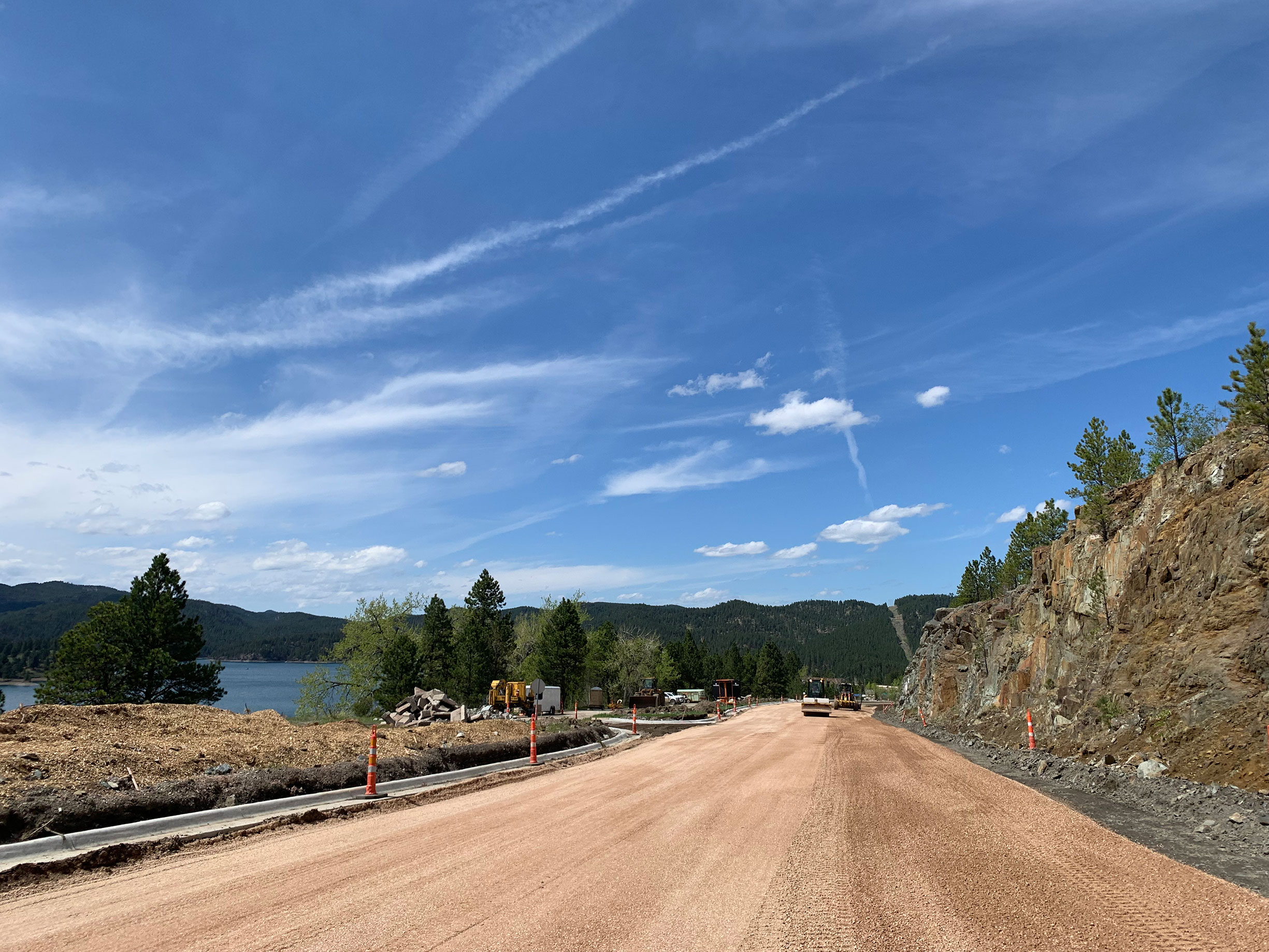
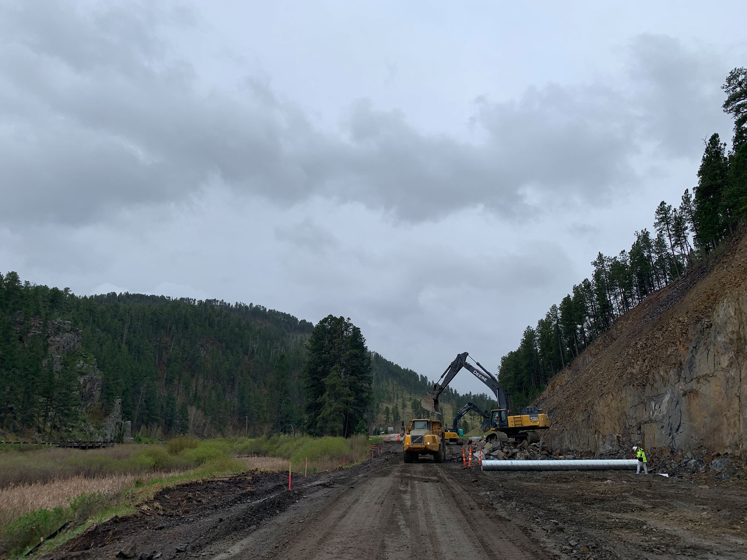
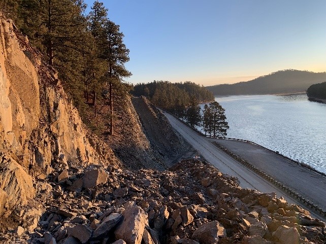
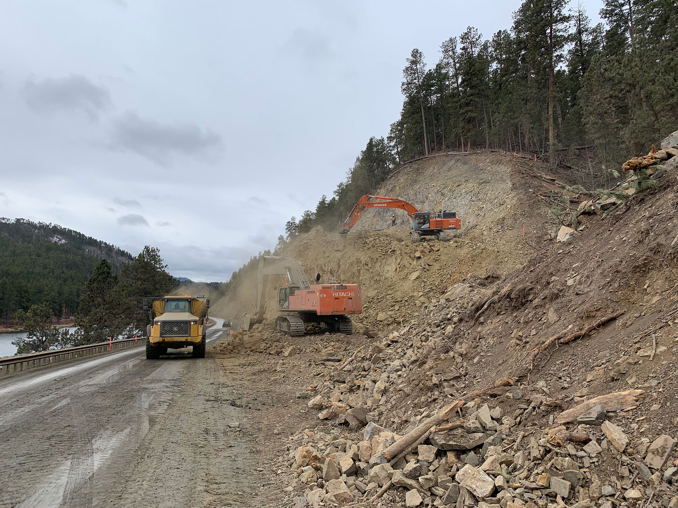
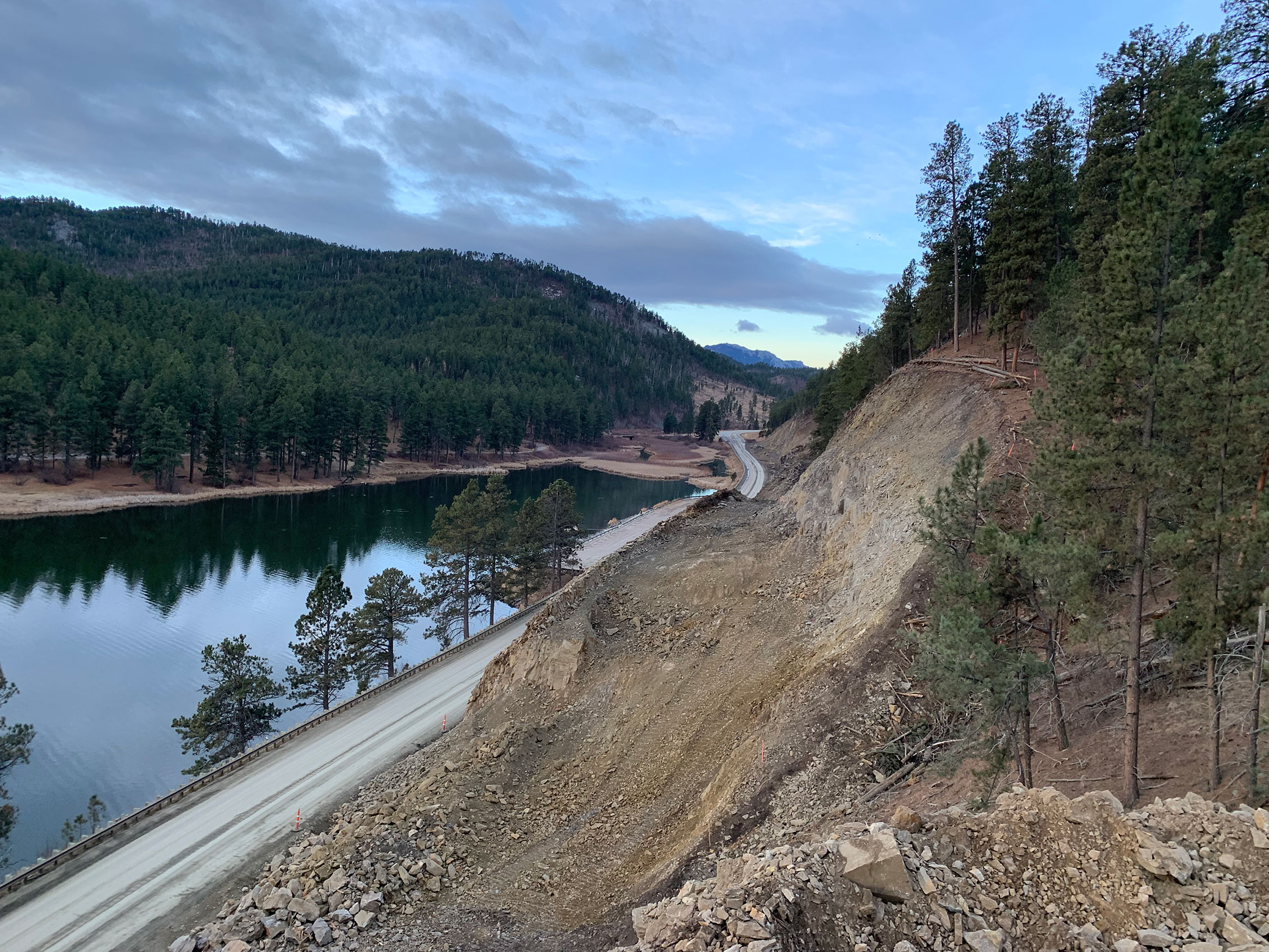
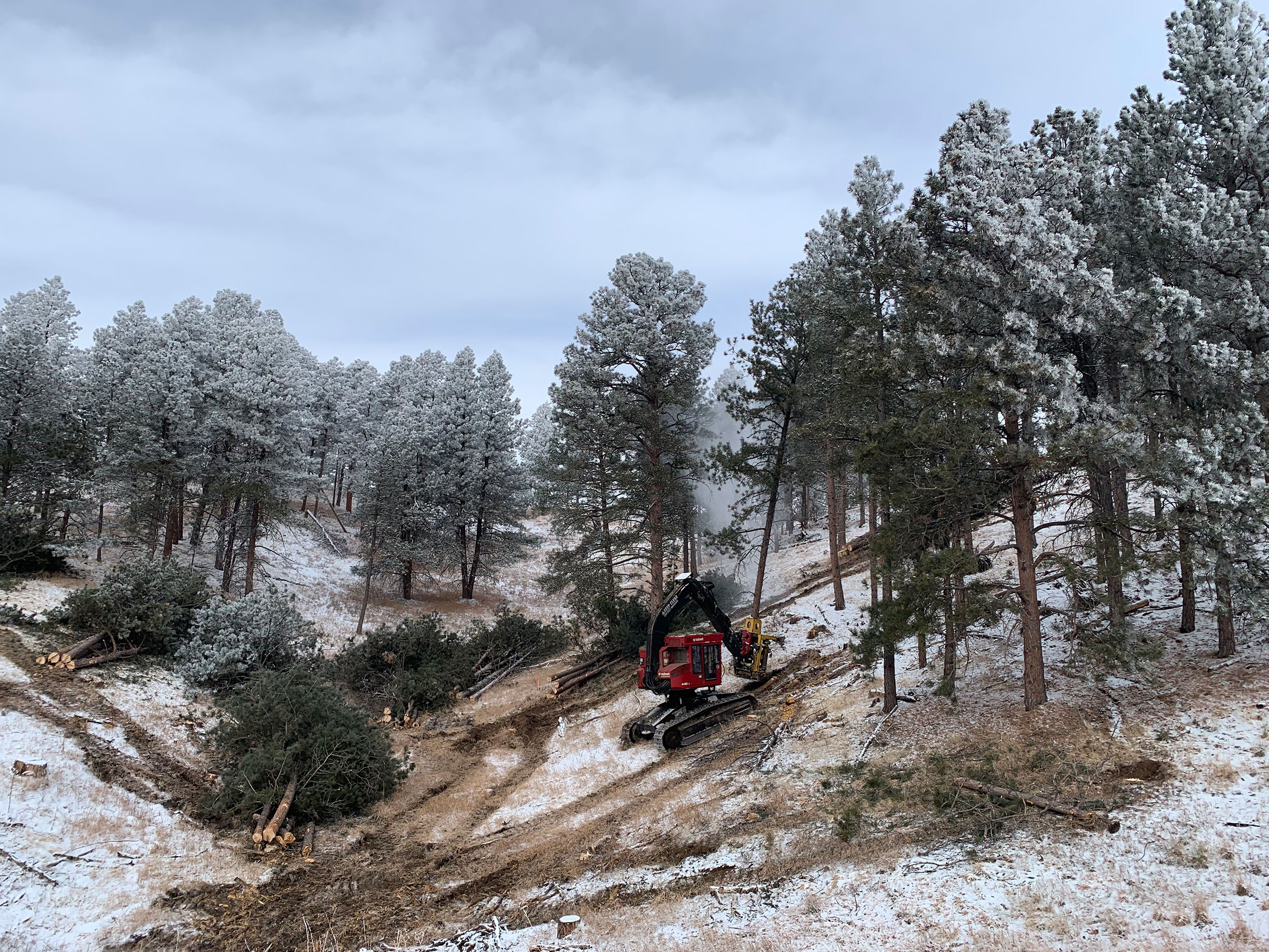
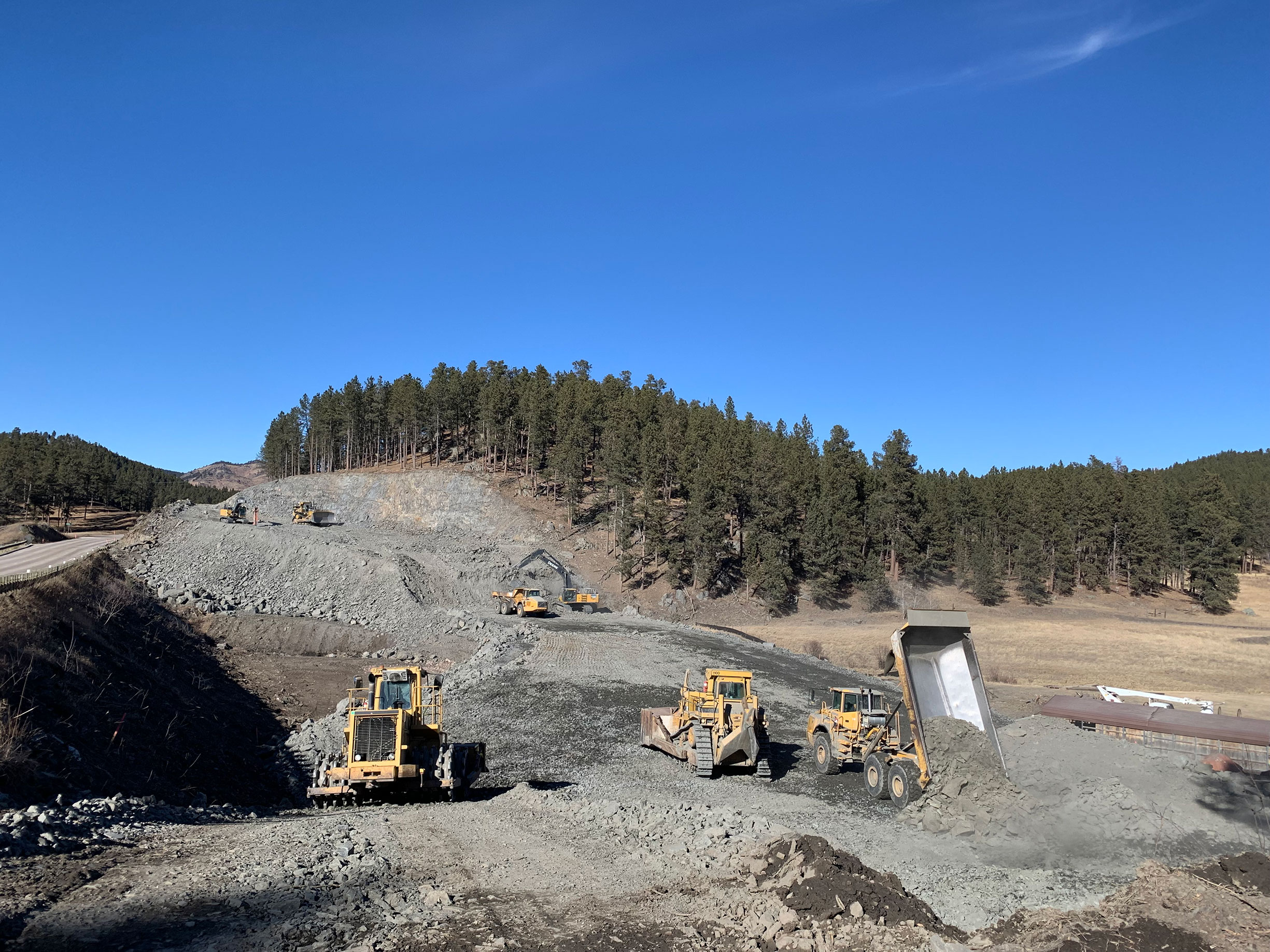
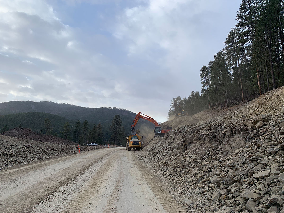
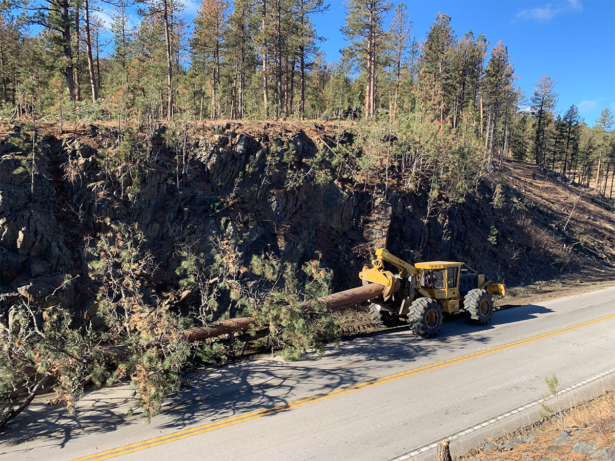
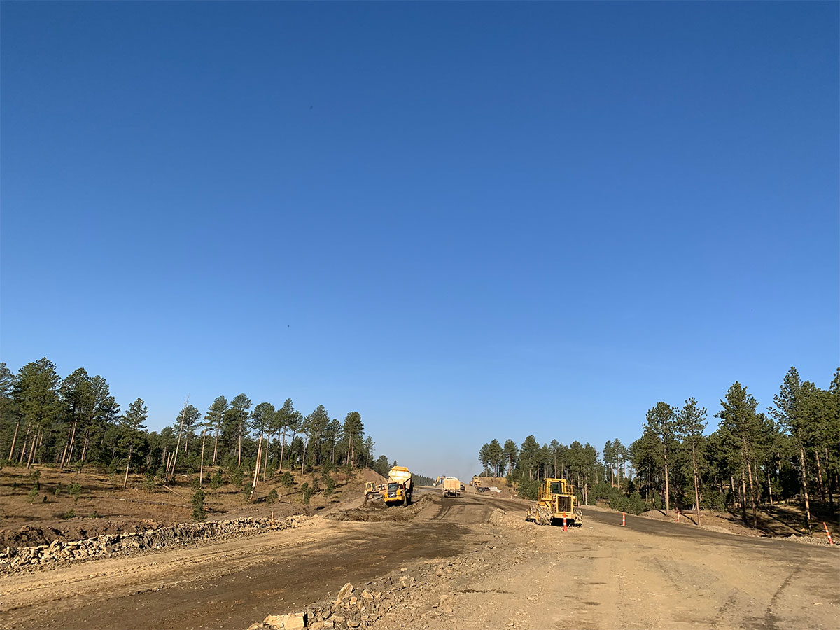
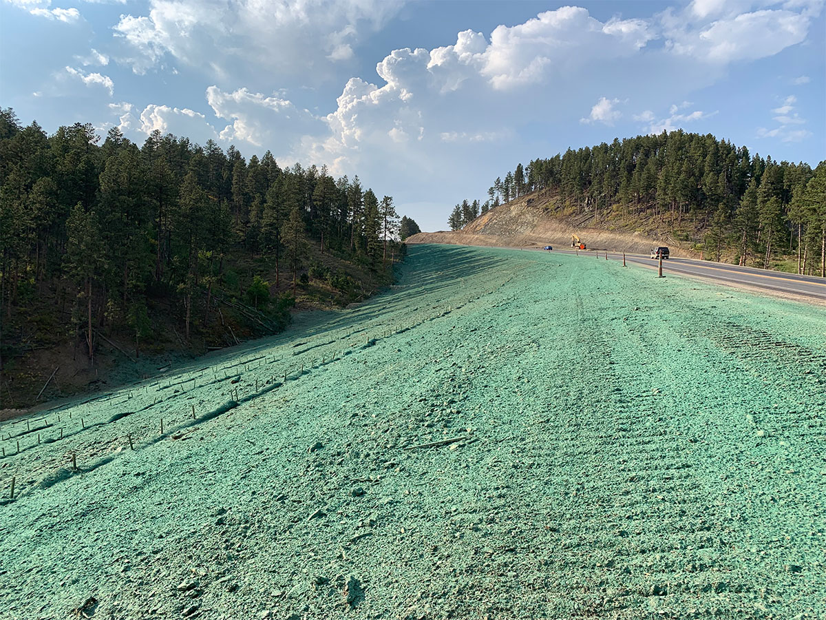
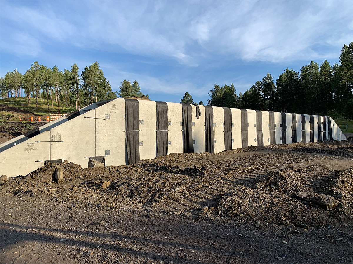
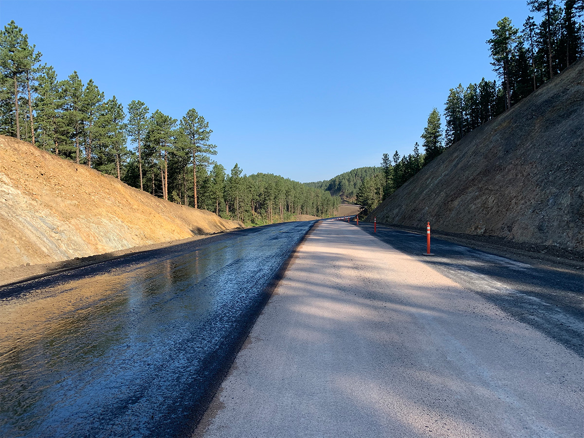
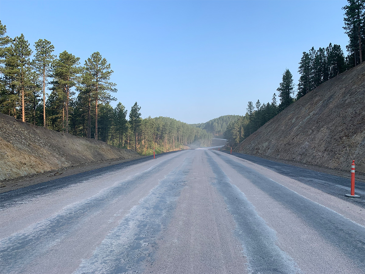
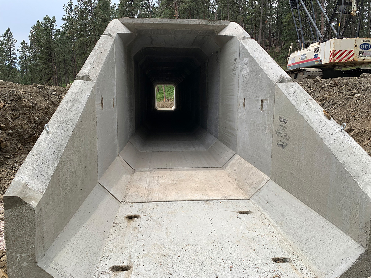
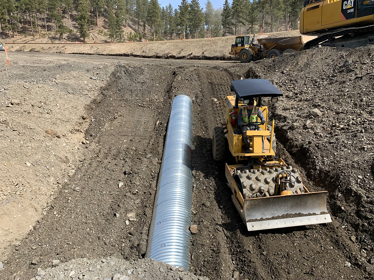
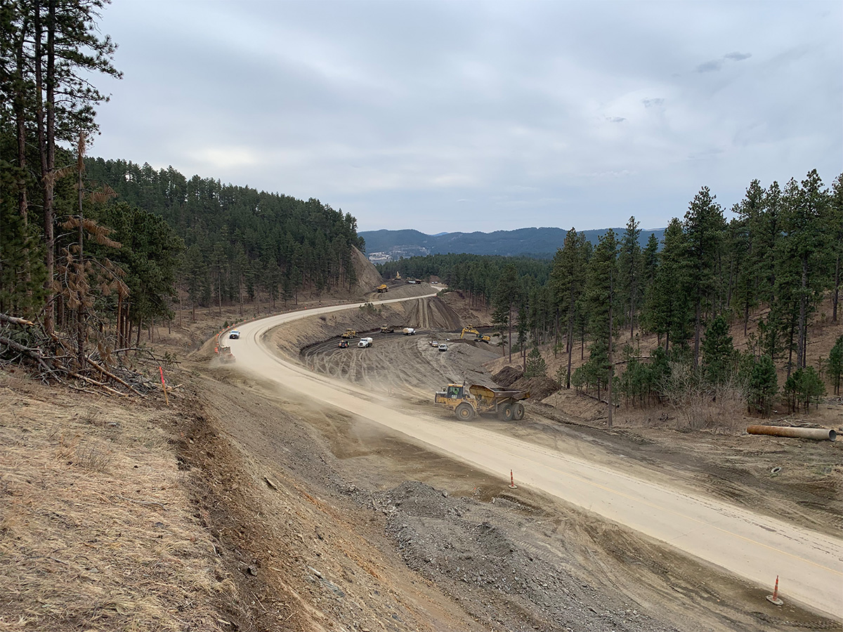
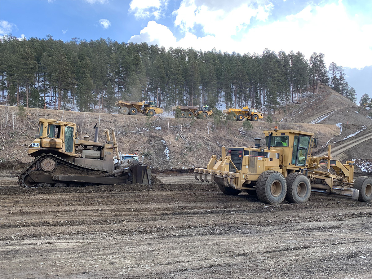
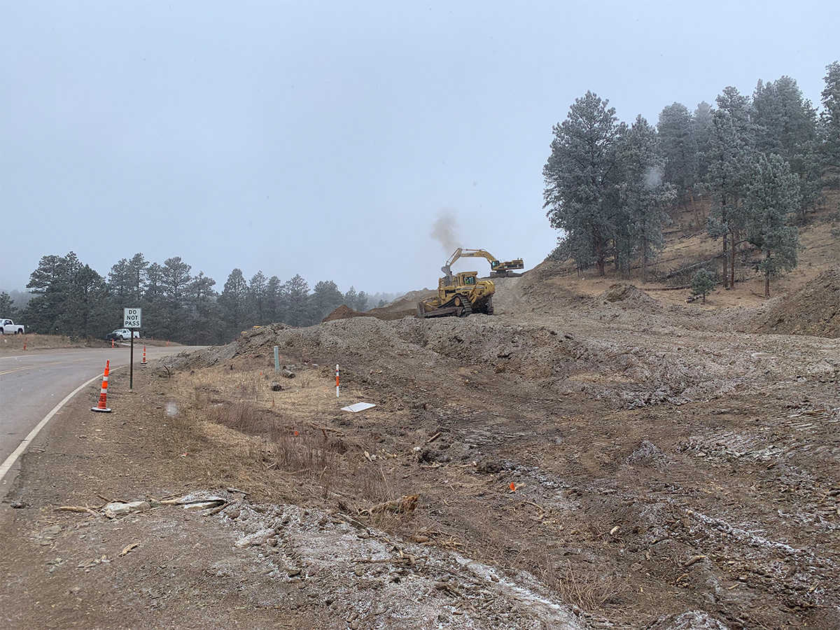
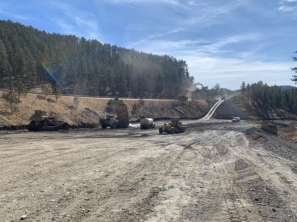
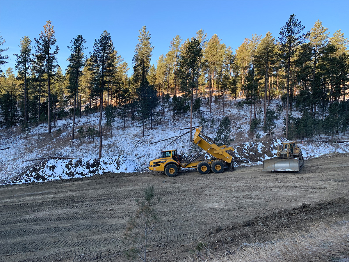
Construction Photos

FAQs
The South Dakota Department of Transportation (SDDOT) is reconstructing a portion of U.S. Highway 385 between the Pennington-Lawrence county line and the south end of Sheridan Lake (Calumet Road). Once completed, this section of Highway 385 will feature safety improvements, including wider shoulders on each side of the road where possible, improved road curves to meet current design standards, additional turning lanes to improve traffic flow, and new surfacing.
This project is being completed with funding from Federal Highway Administration (FHWA), and the use of federal funds requires that certain standards be met. Highway 385 does not meet current design standards and requires redesign alongside general maintenance due to the age of the infrastructure.
Site distances for hills and curves: Portions of the roadway do not meet current design standards for curvature and will be redesigned to meet current design criteria.
Roadway shoulders: Current design standards dictate an eight-foot shoulder, and the current highway only has two to three-foot shoulders.
Clear zone: The current roadway has a limited clear zone of two to 16 feet, and current design standards require a minimum 30-foot clear zone.
Culverts and drainage pipes: Multiple box culverts nearing the end of their useful life and drainage pipes in poor condition will be replaced.
Access to adjacent properties: Driveways and access to adjacent properties will be improved, and turn lanes will be installed at key intersections to improve the flow of traffic.
During construction, lanes will be kept at a minimum of 12 feet wide. Sections of the roadway may be loose gravel.
The posted detour for road closures will be S.D. Highway 44 and U.S. Highway 16. Please note that detours during road closures may add an extra 30 to 60 minutes to drivers’ commute.
Pactola Reservoir North Boat Ramp: In 2026, the north boat ramp will be fully accessible.
Pactola Reservoir South Boat Ramp: In 2026, the south boat ramp will be fully accessible.
Veteran’s Point Trail*: Veteran’s Point Trail will be accessible throughout the duration of construction. In 2026, Veteran’s Point Trail can be accessed from the north. During rock blasts, the parking lot for Veteran’s Point Trail will be closed for 1-2 hours.
*Additional questions about any USFS facilities can be directed to the Mystic Ranger Station.
The entire project is anticipated to cost a total of approximately $72 million.
The project team held multiple public meetings in September 2019 and landowner meetings in January 2020 to gather input and feedback. Feedback from residents and stakeholders was consid¬ered while finalizing the roadway design. The proposed design of the road includes safety improvements and brings the highway up to current design standards. The project team is also coordinating with local emergency services.
This construction sequencing decision was determined by the SDDOT with input from a focus group made up of project stake¬holders, including representatives of parents of Hill City students, school district representatives, business owners, South Dakota Department of Tourism, U.S. Forest Service, adjacent landowners and residents, local Chamber of Commerce representatives, local government and State representatives, and trails advocacy groups.
Press Releases
August 8, 2025Road Closure Scheduled for U.S. Highway 385 from Sheridan Lake Road to Be Still Road Near Hill City June 13, 2025
Milling Work Scheduled to Begin on U.S. Highway 385 North of Sheridan Lake Road Near Hill City May 22, 2025
Planned Temporary Road Closures Scheduled for U.S. Highway 385 Between Clear Creek Road and Horse Creek Road May 2, 2025
Overnight Construction Scheduled for U.S. Highway 385 Near Sheridan Lake April 22, 2025
Planned Road Closure Scheduled for U.S. Highway 385 in Custer Area Oct. 30, 2024
Pre-Construction Informational Meeting Scheduled in Rapid City for Next Phases of U.S. Highway 385 Project Oct. 23, 2024
Pre-construction Activities to Begin on U.S. Highway 385 between Pactola Dam and Sheridan Lake July 29, 2024
U.S. Highway 385 Construction Paused for the Rally May 13, 2024
Highway 385 Construction: Phase 1 Closures Scheduled to Begin in Custer Area April 25, 2024
Highway 385 Construction Forest Trail Closures Update Area March 5, 2024
U.S. Highway 385 Construction Scheduled to Begin in the Custer Area March 4, 2024
Access to Recreation Facilities at Pactola Reservoir during Highway 385 Construction Feb. 26, 2024
Pre-Construction Informational Meeting Scheduled in Rapid City for Highway 385 Project Nov. 16, 2023
Tree Clearing to Begin on Highway 385 Construction Project Near Pactola Dam
Links
-
Nov. 21, 20245 - 7 p.m.
Rimrock Church | 12200 SD Highway 44 | Rapid City, SD 577052
-
March 12, 20244 - 7 p.m.
Rimrock Church | 12200 SD Highway 44 | Rapid City, SD 577052
-
April 27, 20234 - 7 p.m.
Rimrock Church | 12200 SD Highway 44 | Rapid City, SD 577052
*Information presented at past meetings may have changed. Please refer to Construction Updates for the most accurate information.
Meeting Presentations
Open House Meeting Presentation - November 2024
Open House Meeting Presentation - March 2024